
Apple Will Use Drones to Compete With Google Maps
In order to keep up with Google, Apple is turning to drones.
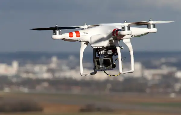
The tech giant plans to fly the unmanned vehicles in an effort to improve its maps feature—and keep up with Google's industry-leading product, Bloomberg reported. The drones will be able to collect and update maps information faster than Apple's current fleet of minivans with cameras and sensors.
The company is in the process of creating a team of robotics and data collection gurus to operate the drones and analyze the data they come back with. Apple is hoping the drones will be able to examine street signs, track road changes and report if areas are under construction—and send the information back to teams who would quickly update the iPhone's Maps app to provide users with real-time updates.
Apple is reportedly also working on new Maps features, including views inside buildings and improvements to car navigation. The iPhone's Maps app was released in 2012, five years after Google's, and with glaring errors like a grocery store marked as a hospital. At the time, Apple didn't have the technology it needed to quickly collect data from many sources.
Since then the Maps app has improved with more quickly updated data, an added mode for navigating public transit and opening the feature to outside services like Uber and restaurant reservation app OpenTable.